Matthew Chin, UCLA

The chair of the UCLA civil and environmental engineering department is leading a U.S. team traveling to Italy this weekend to work with Italian scientists on research into the destructive earthquakes that hit in August.
Jonathan P. Stewart, professor in the UCLA Henry Samueli School of Engineering and Applied Science, leaves Saturday for central Italy to lead the research team from the Geotechnical Extreme Events Reconnaissance Association. The team will investigate geotechnical and geological aspects of the earthquake sequence that occurred between August 24 and August 29.

Credit: UCLA
The team will work in close collaboration with Italian engineers and scientists, some of whom have already deployed to the affected region and are collecting perishable data. The research is supported by the National Science Foundation and the B. John Garrick Institute for the Risk Sciences at UCLA. After the field investigation is complete, observations and findings will be posted on the GEER website.
Stewart answered some questions before traveling to Italy with the team.
What will the team be looking for, and why is it important to go now, as opposed to a month from now?
Earthquake engineering as a profession is driven by post-event observations of how the earth and structures respond to earthquakes. We seek perishable data, which means the information would disappear over time due to recovery, clean up, and weathering.
One example of what we will look for is the rupture of the ground surface from the faulting. Data of this sort help to guide engineering models for how much displacement to expect from future earthquakes, and the distribution around faults.
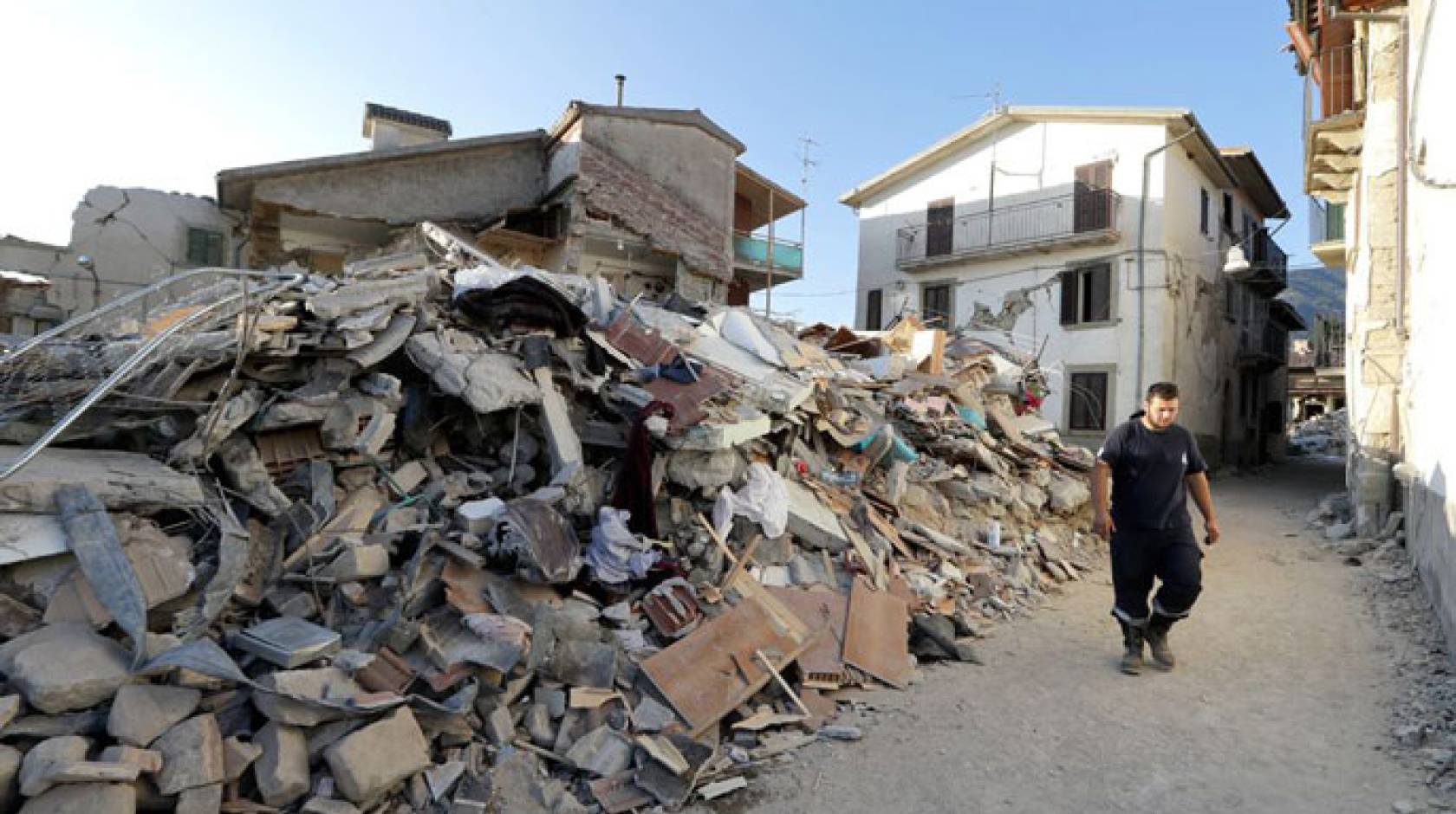
Obviously, the massive structural damage [in Italy] is another notable feature of this event. We will attempt to learn about the levels of ground shaking that do and do not cause these tragic collapses, so as to better understand the vulnerability of masonry structures in future earthquakes. These structures are abundant in Italy, but occur in some portions of California as well.
What will that field data be used for? For example, what have past GEER teams found from previous destructive earthquakes? And, what kinds of instruments will be used?
We will look for evidence of ground failure, which is permanent displacement of the ground caused by the earthquake. Examples that we expect to find in this event include landslides, surface fault rupture, and settlement of artificial fill soils. We have seen effects of this type in past earthquakes too, although many of those events have also produced soil liquefaction, which we do not expect to see in this area of Italy.
We will map patterns of damage to building structures, and also record the performance of other structures such as dams and bridges.
Several instruments are used, including:
- Ground motion accelerographs – these were actually deployed prior to the earthquake. We will retrieve the data through Italian collaborators, and study the patterns of ground shaking and what they reveal about earthquake hazards in a normal fault environment.
- Lidar (surveying technology that uses lasers) to map ground deformations. Further information on Lidar.
- Unmanned aerial vehicles to image sites from above, and as a platform for Lidar.
Most of the worst hit areas seemed to be in towns with many buildings that are hundreds of years old. How would any data collected be applied to the U.S.?
Most of the affected structures in these towns are unreinforced masonry. While these structures are older than those we find in California, in some cases similar structural typologies are found here as well. It is important to understand levels of ground shaking that do and do not cause collapse, and to study the effectiveness of different retrofit strategies. My team is not focused specifically on these structural engineering aspects, although we will be working in collaboration with others who will look at these issues.
Is there an area of the U.S. with similar faults to the one that caused this quake?
The central Italy earthquake involved normal faulting, which is a slip type that accommodates crustal extension. Much of the western US has similar faults, especially from the eastern Sierra to Colorado. The ground motion information from this and other earthquakes in Italy help us to better understand what we can expect from future earthquakes in these parts of the U.S.

